These access points offer 5-7 mile stretches on the Meramec. Use the map markers to plan how far the access points are from home and how long the shuttles are in between put-in and take-out. Stretches above the Bourbeuse and Big River entry points will be clearer water; stretches below the Bourbeuse and Big Rivers will be muddier water but closer to St. Louis.
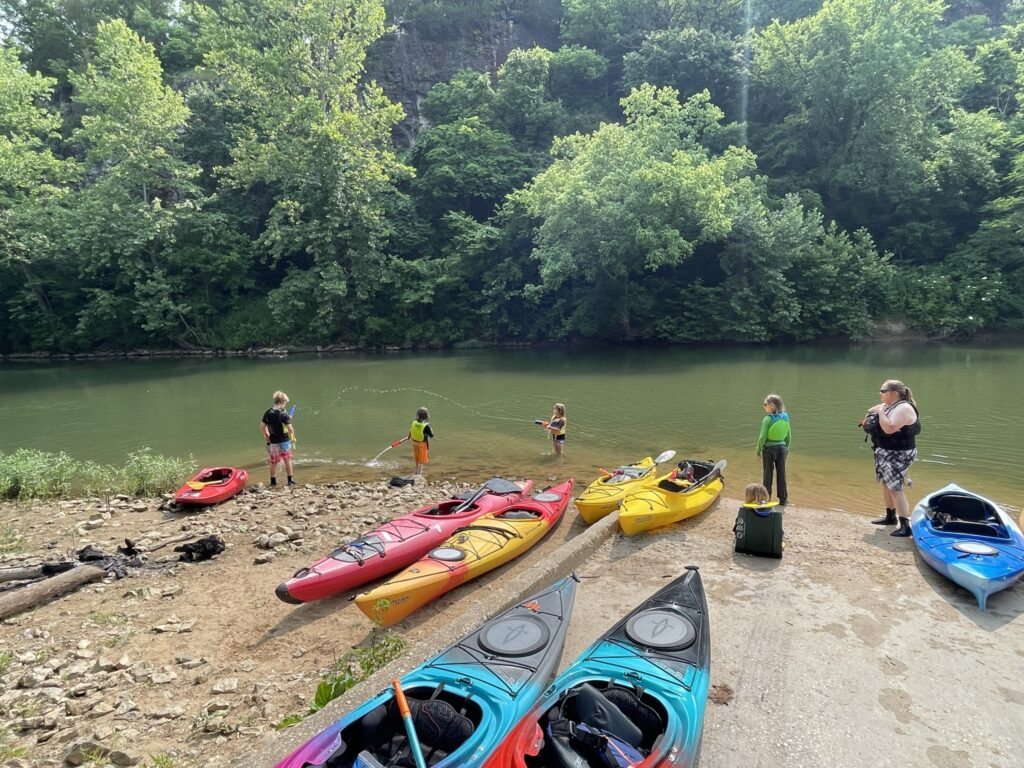
Below are listed several paddle routes in the 5-7 mile range, their put-in and take-out mile markers according to the MDC Paddler’s Guide to Missouri (2017 edition), and the estimated drive-time for the shuttle. Hopefully this resource provides a grab bag of option to make it easier to choose the right route for a family trip so that we can all get our kiddos out on the river more often!
I’m happy to accept suggestions for edits and revisions! DM me through the site or FB, eleanor
—-above Bourbeuse—-
Onandaga to Campbell Bridge
68.4 to 73.7
5.3 miles
18 minute shuttle
Campbell Bridge to Blue Springs
73.7 to 78.6
4.9 miles
11-15 minute shuttle
Blue Springs to Sappington Bridge
78.6 to 83.2
4.6 miles
30 minute shuttle
Sappington Bridge to Meramec State Park
83.2 to 88.0
4.8 miles
20 minute shuttle
Meramec State Park to Sand Ford
88.0 to 95.4 or 90.0 to 95.4
7.4 or 5.4 miles
15-18 minute shuttle
River Round to Chouteau Claim
127.2 to 132.8
5.6 miles
11-12 minute shuttle
—-below Bourbeuse—-
Robertsville State Park to Pacific Palisades
139.0 to 147.3
8.3 miles
20 minute shuttle
Pacific Palisades to Allenton
147.3 to 154.2
6.9 miles
25 minute shuttle
Allenton to Route 66 SP
154.2 to 160.9
6.7 miles
17 minute shuttle
Valley Park/Meramec Greenway to Greentree Park
172.5 to 180.4
7.9 miles (straight, not many bends)
10 minute shuttle